

GPS Solutions (2016)
journal
Q1
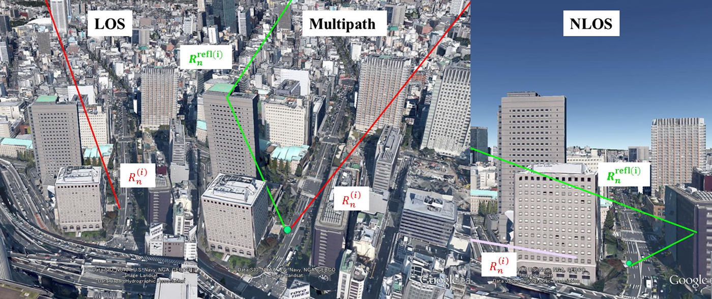
Key idea. Using a 3D city model, each received satellite signal is classified as LOS, multipath, or NLOS (figure), and a pedestrian position is computed from GPS/GLONASS/QZSS accordingly — together with a reliability measure for the resulting fix.
Why it matters. Instead of treating every satellite equally, the receiver understands its 3D surroundings — the core idea behind 3D-mapping-aided GNSS in dense cities. (GPS Solutions, 2016, Q1.)